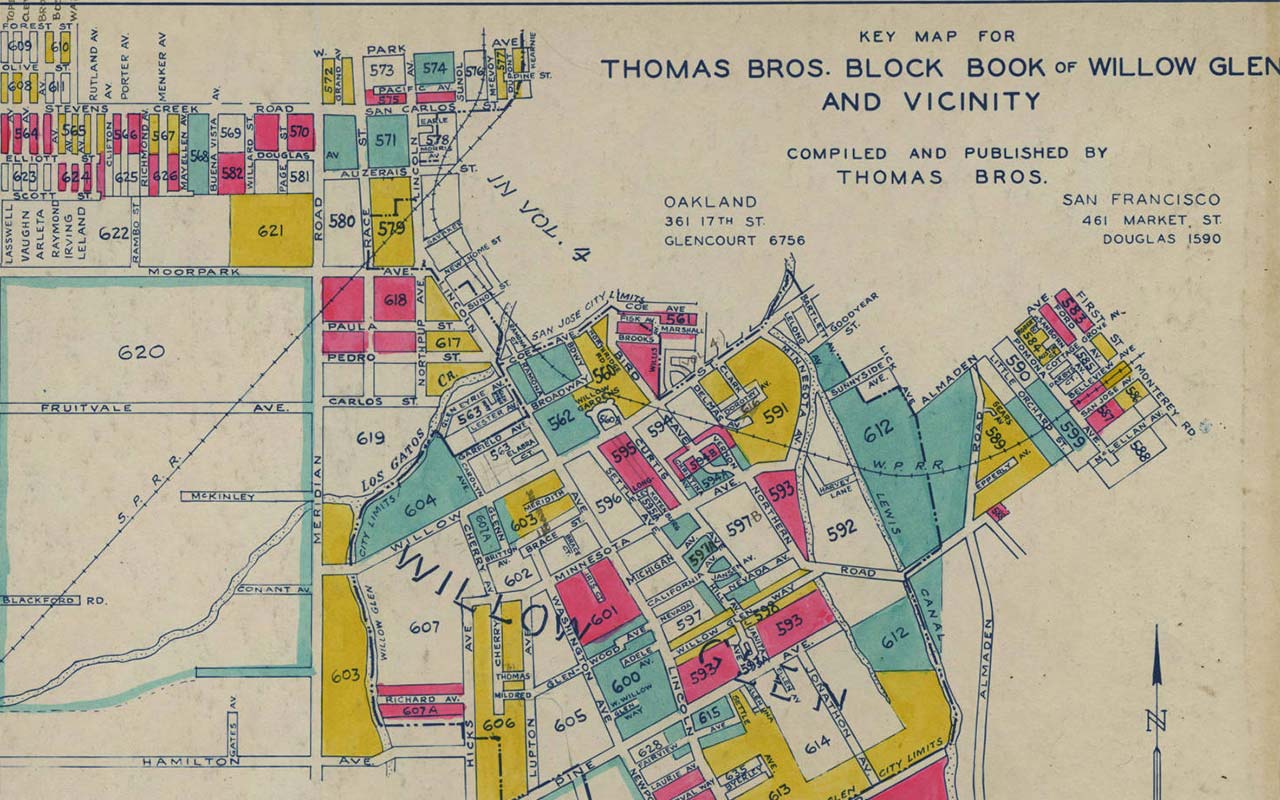
This collection includes over 1,000 maps of various kinds from the 1860s - 1980s for San Jose, Santa Clara County and other areas throughout California.
About the Collection
This collection comprises over 1,000 maps from the 1860s - 1980s, including Sanborn Fire Insurance maps, geological surveys, street maps, planning and land use maps for San Jose, Santa Clara County and other cities and counties throughout California.
Sanborn Fire Insurance Maps for 1932, 1939, 1950, 1958, and 1962 (some years also available on microfilm). These maps show in great detail lots, houses, and businesses located in central San José. Some years are digitally available:
- Digital Sanborn Maps database - covers cities throughout California (1867-1970) including San Jose maps from 1884, 1891, 1950
- Digitized Sanborn Maps at the Library of Congress (including San Jose maps from 1884,1891,1915,1950)
- Digitized Sanborn Maps at the Internet Archive (Including San Jose maps from 1932,1939,1950)
City of San José Block Books from 1909, and 1924 multi volume set updated to the 1940s. These maps show the boundaries of all the lots in the City of San Jose along with the names of the property owners. A copy of the 1909 City Block Book as well as a 1924 multi volume set updated to the 1940s are available on site in the California Room. History San Jose has San Jose Block Books circa 1925-1965. Digital block books are available for 1871 and 1882-1886
1876 Historical Atlas of Santa Clara County: The first comprehensive atlas of Santa Clara County, this resource gives the names of large property owners in the area. This atlas is available on site in the California Room and digitally.
City, street, state, county, and subdivision maps: The California Room has a large collection of old maps for San José and Santa Clara County. While these maps may not show structures or land owners, they can help locate streets whose names have changed or streets which no longer exist. Maps can be searched using the California Room Index and in our Digital Collections
Brainard Atlas of Santa Clara County: This is a very useful series of maps published in the mid to late 1880s. Unlike other maps, this atlas shows only the agricultural, nonurban areas of Santa Clara County. As well as showing property owners, it often gives a brief description about each property explaining what was being grown there.
